 PLN
PLN BRL
BRL CZK
CZK EUR
EUR EUR
EUR EUR
EUR EUR
EUR GBP
GBP RUB
RUB SEK
SEK USD
USD
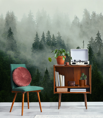


Carta da parati in vinile
La carta da parati in vinile è stampata su un fondo resistente con una superficie liscia e opaca. Grazie agli inchiostri HP Latex, i colori della carta da parati rimarranno vividi per molti anni.
- ✓ Resistente alla deformazione e alle trazioni
- ✓ Permeabile al vapore acqueo
- ✓ Installazione facile
- ✓ Inchiostro ecologico HP Latex
Larghezza massima del foglio: 95-105 cm. Nel caso in cui la dimensione da coprire superi la larghezza massima, la stampa consisterà di più fogli uguali.
Applicazione: pareti lisce e regolari
Metodo di installazione: Applichiamo la colla esclusivamente sulla superficie della parete e fissiamo i fogli seguenti bordo a bordo, un accorgimento che riduce il rischio di danni alla carta da parati e permette una maggiore precisione nel suo montaggio.
Metodo di pulizia: panno asciutto
Rifinitura: semiopaca

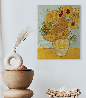
Carta da parati in vinile lavabile
La carta da parati in vinile lavabile è stampata su un fondo resistente, con una superficie liscia e opaca, e poi viene ricoperta con una pellicola laminata che impedisce l'azione dell’umidità e l'impatto negativo degli altri fattori esterni (graffi, abrasioni, esposizione al sole). La moderna tecnologia di stampa HP Latex garantisce colori vividi per un lungo periodo di tempo.
- ✓ Rivestita di una pellicola laminata
- ✓ Resistente all'umidità, graffi, abrasioni e all'impatto del sole
- ✓ Resistente alla deformazione e alle trazioni
- ✓ Permeabile al vapore acqueo
- ✓ Facile installazione
- ✓ Inchiostro ecologico HP Latex
Larghezza massima del foglio: 95-105 cm. Nel caso in cui la dimensione da coprire superi la larghezza massima, la stampa consisterà di più fogli uguali.
Applicazione: pareti lisce e regolari. Per spazi con un alto tasso di umidità (cucina, bagno), che sono soggetti a graffi (ingresso, camera dei bambini, hotel, ristoranti, sale per conferenze, edifici pubblici, scuole, asili e asili nido)
Metodo di installazione: Applichiamo la colla esclusivamente sulla superficie della parete e fissiamo i fogli seguenti bordo a bordo, un accorgimento che riduce il rischio di danni alla carta da parati durante i lavori interni e rende anche possibile una maggiore precisione nel suo montaggio.
Metodo di pulizia: panno bagnato
Rifinitura: semiopaca

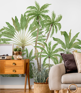
Carta da parati in vinile strutturale
La carta da parati in vinile strutturale è stampata su un fondo resistente con una struttura di sabbia fine. Questa rifinitura permette di ottenere un particolare risalto del senso di profondità della stampa. La tecnologia di stampa HP Latex permette di mantenere colori vividi per molti anni.
- ✓ Struttura di sabbia fine
- ✓ Resistente alla deformazione e alle trazioni
- ✓ Permeabile al vapore acqueo
- ✓ Facile installazione
- ✓ Inchiostro ecologico HP Latex
Larghezza massima del foglio: 100 cm. Nel caso in cui la dimensione da coprire superi la larghezza del materiale, la stampa consisterà di più fogli uguali.
Applicazione: pareti lisce e regolari. La carta da parati avrà una buona riuscita sia in interni destinati ad abitazioni che in ristoranti, scuole o uffici.
Metodo di installazione: Applichiamo la colla esclusivamente sulla superficie della parete e fissiamo i fogli bordo a bordo, un accorgimento che riduce il rischio di danni alla carta da parati e rende anche possibile una maggiore precisione nel suo montaggio.
Metodo di pulizia: panno asciutto
Rifinitura: semiopaca, struttura di sabbia fine
Carta da parati in vinile strutturale lavabile
La carta da parati in vinile è stampata su un fondo resistente con una struttura di sabbia fine, che permette di ottenere un particolare risalto del senso di profondità della stampa. La tecnologia di stampa HP Latex permette di mantenere colori vividi per molti anni.
- ✓ Rivestita di pellicola laminata
- ✓ Struttura di sabbia fine
- ✓ Resistente all'umidità, graffi, abrasioni e all'impatto del sole
- ✓ Resistente alla deformazione e alle trazioni
- ✓ Permeabile al vapore acqueo
- ✓ Facile installazione
- ✓ Inchiostro ecologico HP Latex
Larghezza massima del foglio: 100 cm. Nel caso in cui la dimensione da coprire superi la larghezza del materiale, la stampa consisterà di più fogli uguali.
Applicazione: pareti lisce e regolari. Per la decorazione di spazi con un alto tasso di umidità (cucina, bagno) e anche di superfici esposte alle abrasioni (ingresso, camera dei bambini, hotel, ristoranti, sale per conferenze, edifici pubblici, scuole, asili e asili nido)
Metodo di installazione: Applichiamo la colla esclusivamente sulla superficie della parete, un accorgimento che riduce il rischio di danni alla carta da parati durante i lavori negli interni e rende anche possibile una maggiore precisione nel suo montaggio.
Metodo di pulizia: panno umido
Rifinitura: semiopaca, struttura di sabbia fine
Carta da parati autoadesiva
Grazie alla sua applicazione estremamente versatile, funziona benissimo in vari tipi di ambiente e superfici diverse. Le carte da parati autoadesive sono perfette sia quando sono montate sulle pareti di casa, così come sugli armadi, i vetri delle finestre, sui mobili e su altre superfici lisce. La tecnologia di stampa HP Latex assicura dei colori chiari e vividi per molti anni.
- ✓ Nessuna colla aggiuntiva
- ✓ Metodo di installazione molto semplice e veloce
- ✓ Resistente alla deformazione e alle trazioni
- ✓ Permeabile al vapore acqueo
- ✓ Inchiostro ecologico HP Latex
Larghezza massima del foglio: 133 cm. Nel caso in cui la dimensione da coprire superi la larghezza massima del materiale, la stampa consisterà di più fogli uguali.
Applicazione: superfici lisce, applicazione universalmente
Metodo di installazione: bordo a bordo
Metodo di pulizia: panno umido
Rifinitura: semiopaca


